GadaInfo
Field to Insights
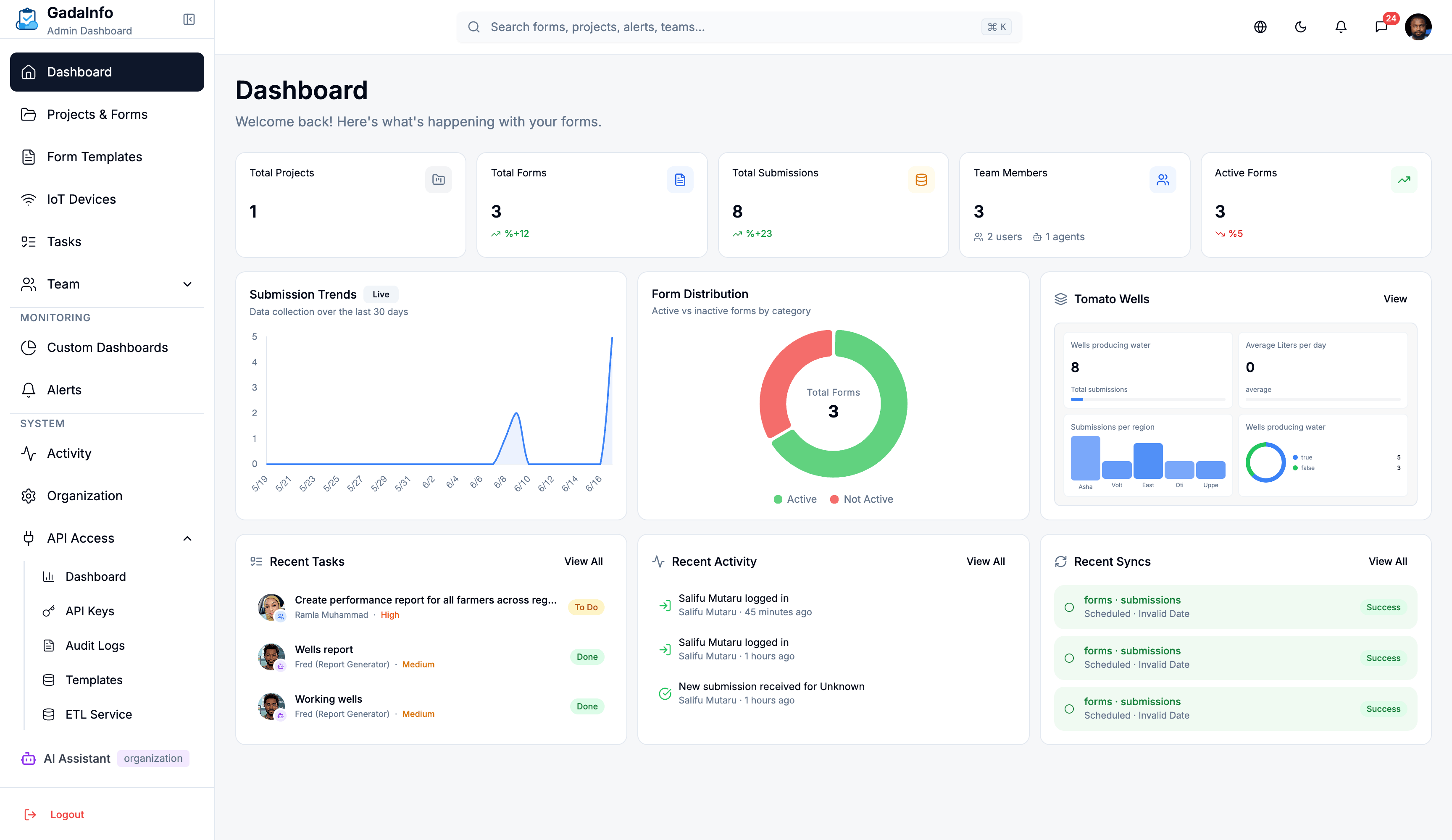
Collect data online and offline, connect IoT sensors, and get AI-powered insights. Built for Agriculture, Health, Lands, Minerals Research, and Revenue Authorities.
Capabilities
FROM FIELD TO DECISION
Every capability designed for real-world data collection in challenging environments.
Offline-First Data Collection
Collect data in remote areas without internet. Sync automatically when connectivity returns. Works on any Android or iOS device.
IoT Sensor Integration
Connect soil moisture sensors, weather stations, GPS trackers, and industrial meters. Real-time dashboards with threshold alerts.
AI-Powered Insights
Machine learning models trained on your sector data. Predict crop yields, detect anomalies, identify trends before they become problems.
Geospatial Analytics
Map-based visualization of collected data points. GIS integration for land survey, mineral exploration, and agricultural zone planning.
Custom Form Builder
Drag-and-drop form designer with skip logic, photo capture, GPS tagging, barcode scanning, and calculated fields.
Multi-Level Data Flow
Field agents → District offices → Regional hubs → National dashboard. Role-based data visibility at every level.
Ready to transform field data into actionable insights?
Join institutions across Africa using GadaInfo for agriculture extension, health data collection, land administration, mineral surveys, and revenue collection.